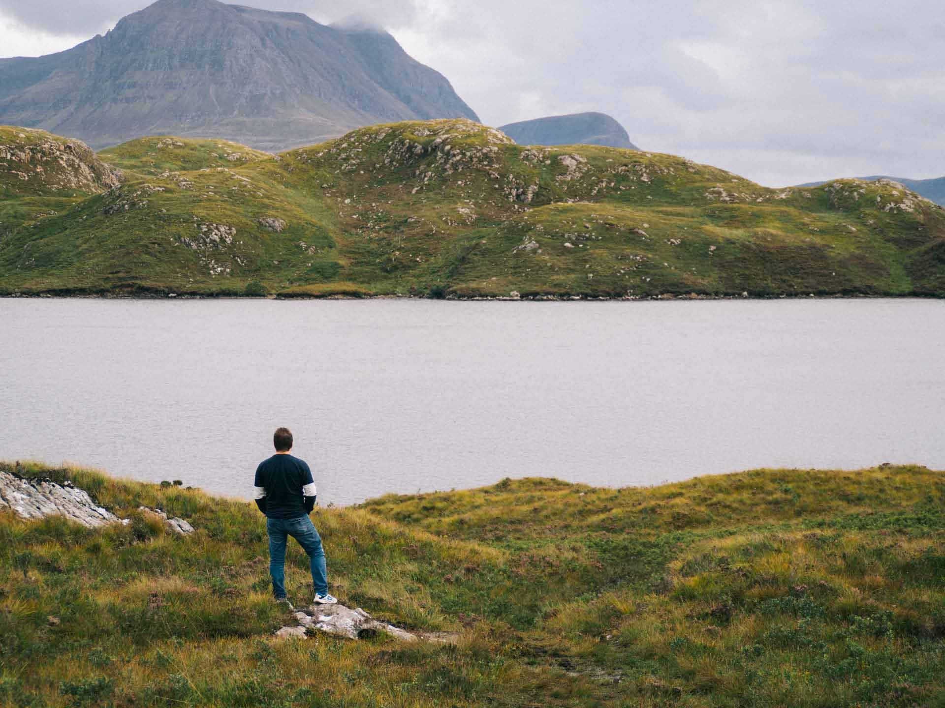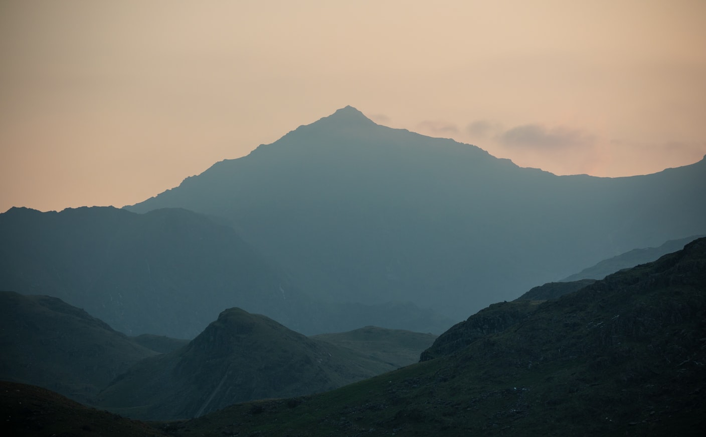
Climbing Snowdon (Yr Wyddfa), Wales’s highest mountain, is a must-do for any would-be adventurer. With eight main routes to the top, there’s very much something for everyone, from complete novice to avid mountain nut.
Having grown up with Snowdonia as my local nature playground, doing my Mountain Leader training there, and summiting Snowdon a boat-load of times, I’m keen to share everything I’ve learned with you to ensure you bag this one successfully.
For the same reason as any mountain really, the views, the challenge, and the time spent with mates outdoors on the journey. It’s also great to explore what’s on the doorstep. Not only is a trip to north Wales cheaper than a far-flung adventure, but better for the environment too (so long as you do it right of course).
Climbing Mount Snowdon is a great introduction to the mountains. The view from the summit of Snowdon is stunning, or totally pants depending on the weather, but either way you’ll be glad you did it. It’s certainly a memorable experience.
 - The Best Routes, Kit, & Top Tips [2023] 1")
Despite being the highest mountain in Wales, its routes aren’t technical, so you don’t require years of mountaineering experience to summit. You can still get into trouble though, especially if you’re poorly prepped.
The Llanberis Mountain Rescue Team is one of, if not the UK’s busiest, and carries out more than 200rescues per year. Most of these mountain rescue incidents would be easily preventable with a bit of nouse. Here’s everything you need to know to help ensure you’re not one of them.
As you can see from the map below, Snowdon sits in the Snowdonia (Eryri) National Park in North West Wales. The National Park is the biggest in Wales and home to many of its highest peaks. It covers 832 square miles and has a whopping 250 lakes such as the picturesque Llyn Llydaw, so be sure to tag on a wild swim (Llyn Llydaw also some great hikes to it too!). You can read all about that in our Wild Swimming Complete Guide.
The National Park also houses beautiful little villages such as Betws Y Coed and Beddgelert, both well worth a visit. Great chippy in Betws too!
 - The Best Routes, Kit, & Top Tips [2023] 2")
Virgin Trains operate a direct route from London to Bangor. You can then take a taxi or bus...no Uber quite yet, not even close.
Conwy Valley Railway operates a route from Llandudno to Blaenau Ffestiniog (get used to more great names like this!) stopping off in Betws y Coed, the heart of the National Park.
From the Midlands, services through Shrewsbury and Machynlleth join with the Cambrian Line
From the South of England (and parts of the Midlands) you’ll be taking the M1, M5, and M6.
From the North West take the M56 and A55.
Google maps is your friend here.
 - The Best Routes, Kit, & Top Tips [2023] 3")
The Snowdon Sherpa bus service links six of the main routes up Snowdon along with villages, popular stops, and major car parking spots.
This can be a lifesaver as the main car park at Pen y Pass is often full. You can instead park at Nant Peris or Penygwryd and hop on the bus to take you to your starting point. This is especially useful on weekends and school holidays when north Wales gets exceptionally busy and you may struggle to find a parking space.
Tickets can be bought on the bus and at the time of writing were £2.00 for a single or £5.00 for a day pass.
If you’re coming from afar, Birmingham, Manchester and Liverpool are the closest airports and take two hours or less to reach Snowdonia. As ever, try to take the train, coach, or drive if possible.
Betws y Coed and Beddgelert are the two obvious options.
Betws is more central but is often busier and can be very popular in high season. It has an old worldly feel with stone buildings, a river running through the middle and no big supermarket chains/stores. There are more places to eat here and better transport links than the alternatives.
Beddgelert is quieter but can also get busy in peak times of the year.
Both are good options, depending on what you fancy.
 - The Best Routes, Kit, & Top Tips [2023] 4")
There are plenty of hotels that will serve as a great base for climbing Snowdon, ranging from cheap and cheerful to a bit fancy pants
Royal Oak Hotel, Betws - great value
Waterloo Hotel, Betws - has a pool
Glan Aber Hotel & Bunkhouse, Betws - cheap
Bryn Eglwys Country House Hotel, Beddgelert - great value
Red Dragon, Beddgelert - upmarket cottages. Camping pods also available
If you want to feel like you’re really staying in the mountains, the Pen y Pass YHA is the obvious choice with both bunks and private rooms on offer. The breaky is very good and massive too. Just note that it does get booked up so book in advance.
During COVID they have made dorms unavailable along with a few other changes so be sure to check on their site
Llyn Gwynant Campsite is a popular choice with good reason. It’s nice and chilled, flat, is dog friendly, and even has a pizzeria.
Snowdon Base Camp is another solid choice, especially if you’re doing the Rhyd-Ddu route (more on that soon). Glamping options available.
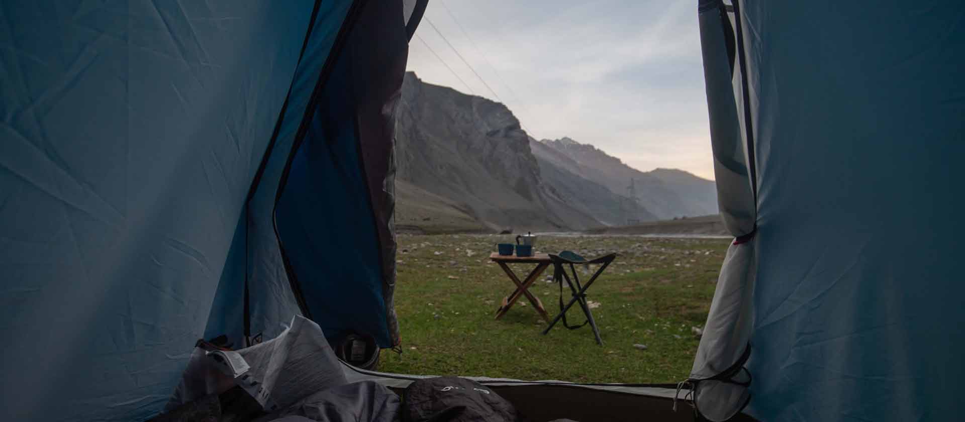
Snowdonia (Eryri) is wild camping heaven but remember that it is not technically legal. The last thing we want to do is encourage any irresponsible campers out into the wild. But if you respect the land and follow the principles of Leave No Trace, arrive late, leave early, and ideally pack out some litter you find along the way (along with your own of course), this can be a fantastic adventure.
 - The Best Routes, Kit, & Top Tips [2023] 5")
Check out our Wild Camping Ultimate Guide to find out more. You can also join us on a wild camping trip in Snowdonia too.
It’s vital that you check the weather forecast before you attempt to climb Mount Snowdon. If you don’t have much experience in the mountains or the outdoors then a summer ascent is the way to go. Having said that, fog is often the thing that causes the most problems and summer can still see foggy days.
Things to watch out for are strong winds, low temperatures, heavy rains, thunderstorms, and poor visibility.
We’ll come onto the various routes later but the spicier ones should be attempted in better weather. Being stuck on Crib Goch in a storm isn’t a good idea. The exposure (ie the drop to the ground below) means you may well need ‘scraping up’ as opposed to rescuing if you take a bad fall from some points on the route.
Remember that a weather forecast is just that, a forecast. You’ll want to pack for the worst and hope for the best.
It’s always a good idea to check multiple sources as well. This can give you a better idea of what to expect.
Our favourites are:
The Mountain Weather Information Service (MWIS) Snowdonia forecast. I always check this before heading into the mountains.
Mountain forecast is another goodie as is the Met Office.
Snowdon.live provides a quick summary and a few useful bits of info too.
Keep in mind that weather systems change quickly in the mountains (especially on Snowdon). Be sure to also check a couple of times throughout the day to see that a giant storm isn’t headed your way. Keep an eye on the clouds as you’re moving too.
As ever, temperatures are much cooler at the top than the base so make sure you’ve got the right clothing, which we’ll get onto next.
This depends on what time of year and which route you’ll be climbing. I don’t want to teach you to suck eggs so feel free to skip over this bit if you don’t need to hear it again but for those who don’t have much experience in the outdoors, layering clothing is the key.
Layering is pretty much as it sounds. You take lots of thinner layers as opposed to a couple of big ones. Instead of taking just a t-shirt and a coat you’d be better off with something like a base layer (wicks sweat away from the body), a thin long sleeve, a fleece, and a waterproof.
Even in the height of summer, it’s a good idea to bring waterproofs. It can rain anytime and as we’ve covered, the weather at the bottom can be quite different from the top. There’s a saying in the army (or at least a bloke who used to be in the army told me so we’ll go with that), you’ll last 3 weeks without food, 3 days without water, 3 hours without shelter.
 - The Best Routes, Kit, & Top Tips [2023] 6")
Being well insulated from the elements will drastically reduce your chances of needing to call on Mountain Rescue if things go South.
Proper walking boots give you more purchase and are better for the environment so dust those bad boys off and put them to good use.
Extras such as sunglasses and sun cream are a good idea, especially for us natives. Make sure you take enough food and snacks to fuel your adventure.
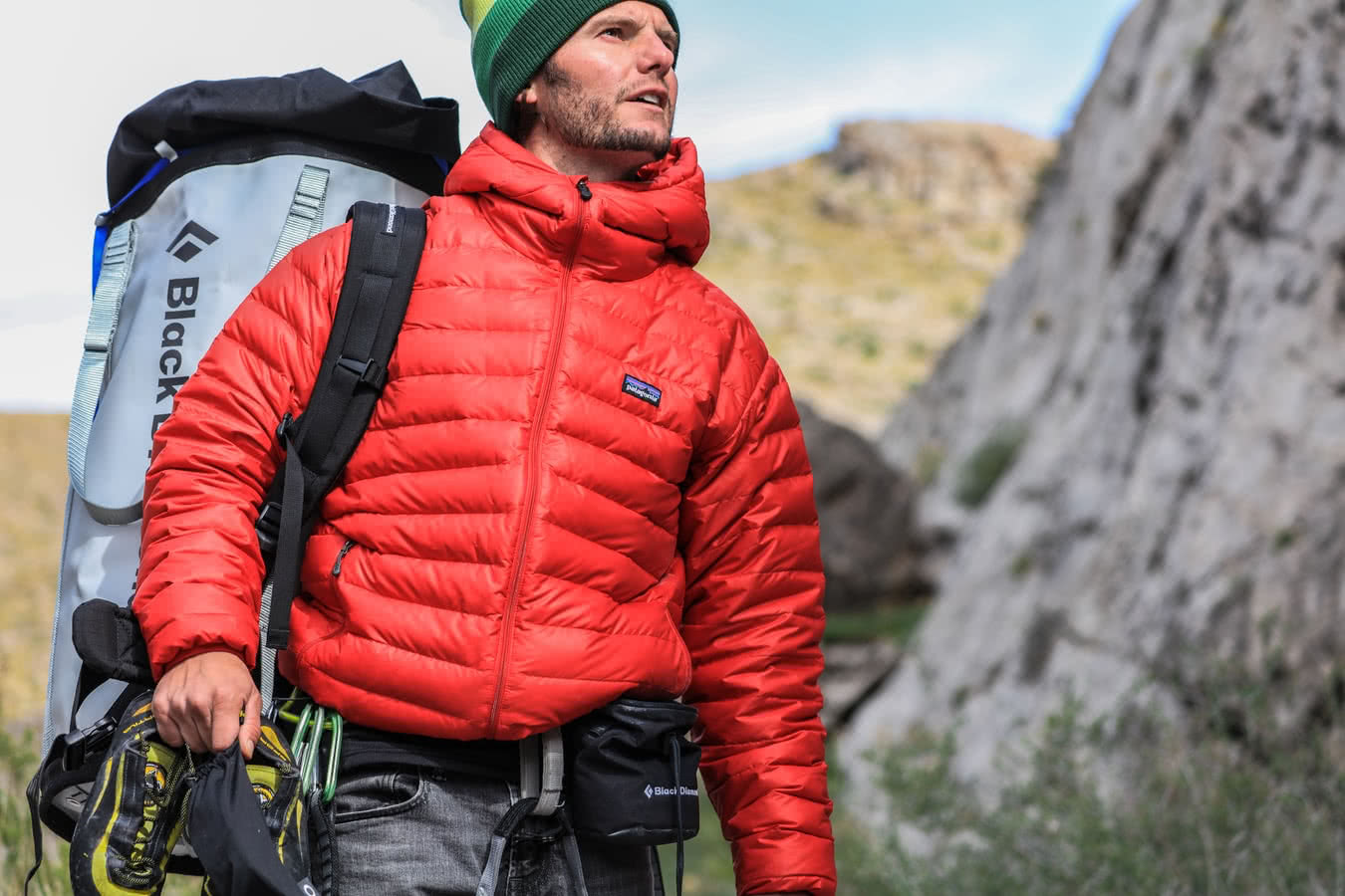
In winter, or whenever the forecast calls for it, you’ll also want a warm hat and gloves, perhaps a scarf, and definitely waterproofs. Depending on the conditions and the route, an ice axe and crampons are also likely a good idea (crampons are metal attachments fitted to the bottom of your boots or shoes to give extra purchase in snowy and icy conditions).
Here’s a snap of me doing Crib Goch in winter. Would not have liked to have tried that without crampons or micro-spikes...
 - The Best Routes, Kit, & Top Tips [2023] 7")
Regardless of the season, you should also take a paper map, at least 2 fully charged mobile phones (ideally one old school one whose battery lasts ages as the cold will sap battery life insanely fast), a charging block, a small first aid kit including emergency shelter, a head torch, and enough food and water.
You may choose to use a GPS, or an app on your phone like ViewRanger or Gaia, but a paper back up is a good idea and feels way more adventure-like.
There are eight main walking routes to choose from when heading for Snowdon summit. The right one for you or your group will depend on things like your experience, gear, whether you prefer one of the quieter routes and the time of year. I’ve organised them into buckets (easier, mid-level, harder) so you can pick the right one for you.
Each route can also have its own variations. The Komoot walking routes are sometimes different to the standard so things like total distance and total climb can vary even on the same route.
 - The Best Routes, Kit, & Top Tips [2023] 8")
The Llanberis Path is the easiest route up Snowdon, and roughly follows the route of the Snowdon Mountain Railway. Despite being the longest route in terms of mileage, it’s steady going all the way up and well marked. This makes it a great choice for your first attempt on Snowdon. but be warned - it gets very busy.
Route: Llanberis Path route up Snowdon
Total Distance: 9 miles round trip (up and down)
Total Climb: 975m / 3,199 feet
Walking Time: Roughly 6 hours round trip - depending on your pace
Start and End: Victoria Terrace, Llanberis (off the A4086)
OS Map: OS Explorer OL17
Parking: One of car parking spots in Llanberis
Sherpa Bus Stop: Llanberis Interchange
Kicking off near the Snowdon Ranger hotel, some believe the Snowdon Ranger Path to be easier than the Llanberis Path, but the Ranger Path’s steeper middle section makes this a bit tougher in my eyes. The Snowdon Ranger Path start is very easy going and it’s often quieter than the Llanberis Path.
The route is named after John Morton or as he liked to call himself ‘The Snowdon Ranger’...much cooler than John.
Route: Ranger Path route up Snowdon
Total Distance: 8 miles round trip (up and down)
Total Climb: 936m / 3,071 feet
Walking Time: Roughly 6 hours round trip - depending on your pace
Start and End: Llyn Cwellyn Car Park (off the A4085)
OS Map: OS Explorer OL17
Parking: Llyn Cwellyn - pay and display
Sherpa Bus Stop: Llyn Cwellyn Car Park
The Rhyd Ddu Path, which used to be known as the Beddgelert Path given that’s where it starts out, is pretty easy going other than the bit over the Bwlch Main. Bwlch is the Welsh word for pass. Plus five adventure points when you bring that bad boy out on the trail.
But an even more interesting one is ‘Cwm’, the Welsh name for a steep-sided hollow or glacial basin. They are basically bowl-shaped holes in the mountainside. The most famous being the Western Cwm (coom) on Mount Everest as named by George Mallory. Plus ten adventure points now.
The Rhyd Ddu Path (Beddgelert Path) is a great option if you’ve already done the more common routes.
Route: Rhyd Ddu Path route up Snowdon
Total Distance: 8.5 miles round trip (up and down)
Total Climb: 895m / 2,936 feet
Walking Time: Roughly 6 hours round trip - depending on your pace
Start and End: Rhyd Ddu Car Park (off the A4086)
OS Map: OS Explorer OL17
Parking: Rhyd Ddu - pay and display
Sherpa Bus Stop: Rhyd Ddu Car Parking spot
As you might have guessed, the Miners Track was built back in 1832 for...yep, the miners. Not slate miners though, this was for copper. You’ll still see remnants of this today which can make for an interesting waypoint.
Whilst the start of the Miners Path is easy peasy, the latter part is tougher. So whilst the Bwlch Main of Ryyd Ddu might look at a bit more hardcore, the second part of this route makes it a bit harder.
The Miners Track and Rhyd Ddu are fairly comparable routes in terms of difficulty. I think the Miners Track edges it though. Try both and see what you think (maybe not on the same day though…).
Route: Miners’ Track route up Snowdon
Total Distance: 8 miles round trip (up and down)
Total Climb: 723m / 2,372 feet
Walking Time: Roughly 6 hours round trip - depending on your pace
Start and End: Pen y Pass Car Park (off the A4086)
OS Map: OS Explorer OL17
Parking: Pen y Pass - pay and display. Or Nant Peris, taking the Sherpa back up.
Sherpa Bus Stop: Pen y Pass Car Park
Nobody quite knows why the Pyg Track (sometimes called the PYG track) is called so. Some say because of the pyg (black tar) from the Copper Works in Cwm Glaslyn. Some because of the Bwlch y Moch (the Pass of Pigs). Others still as an abbreviation of the Pen Y Geryd (PYG) hostel used by many climbers. Who knows how the Pyg Track got its name.
The Pyg Track route itself is more tricky, being uneven underfoot. You’ll definitely be glad you wore your walking boots. Whilst the Pyg Track is only 7 miles, it’s a bit more technical so leads the pack so far.
Route: Pyg Track route up Snowdon
Total Distance: 7 miles round trip (up and down)
Total Climb: 723m / 2,372 feet
Walking Time: Roughly 6 hours round trip - depending on your pace
Start and End: Pen y Pass Car Park (off the A4086)
OS Map: OS Explorer OL17
Parking: Pen y Pass - pay and display. Failing that Nant Peris and take the Sherpa back up.
Sherpa Bus Stop: Pen y Pass Car Park
Now we’ve covered the Pyg Track it’s time for the harder routes!
For those looking for a bit of an adventure away from the crowds, the South Ridge can be a good option. There’s some scrambling involved (halfway between walking and rock climbing but without the need for extra gear) so you’ll have to get your hands involved for this one.
The scrambling is pretty straight forward and adds a bit more variety. That doesn’t mean it’s for everyone though. You should be prepared for a bit of exposure on the Bwlch Main and scrambling on the South Ridge.
Walking Britain have a detailed version of this route.
Route: Snowdon South Ridge from Rhyd Ddu route up Snowdon
Total Distance: 7.5 miles round trip (up and down)
Total Climb: 849m / 2,785 feet
Walking Time: Roughly 6 hours round trip - depending on your pace
Start and End: Rhyd Ddu Car Park (off the A4086)
OS Map: OS Explorer OL17
Parking: Rhyd Ddu - pay and display
Sherpa Bus Stop: Rhyd Ddu Car Park
Being one of the quieter walking routes, the Watkin Path is a great option to avoid the crowds. With more ascent than any of the other routes, this can be a challenging pick though. Taking the Watkin Path, you’ll pass a beautiful mountain stream before climbing up the main ridgeline.
Why is it called The Watkin Path?
Sir Edward Watkin opened this route all the way back in 1892 and it’s still a great choice today, especially if you want a more challenging option but don’t fancy the exposure of Crib Goch.
Route: The Watkin Path route up Snowdon
Total Distance: 8 miles round trip (up and down)
Total Climb: 1,015m / 3,330 feet
Walking Time: Roughly 6 hours round trip - depending on your pace
Start and End: Pont Bethania Bridge Car Park, Nant Gwynant (off the A498)
OS Map: OS Explorer OL17
Parking: Pont Bethania Bridge - pay and display, Nant Gwynant
Sherpa Bus Stop: Pont Bethania Bridge, Car Park - Nant Gwynant
Crib Goch is a fantastic route and really gets the adventure gibblets wibbling, especially in winter. But take close note that Crib Goch is a super exposed grade one scramble. The consequence is very high in parts. ‘Consequence’ is the term used in mountaineering circles to describe how likely you are to die or get seriously injured if you were to fall.
Just to be super clear, you should only attempt this if you have sufficient experience, gear, and the conditions are right. Windy and stormy days should be a no go for Crib Goch. As ever, go with a group, tell people where you’re going, and don’t overestimate your abilities.
If you’re confident in the outdoors, have a decent amount of experience, and things are looking good weather wise, then go for it. It’s quite an experience and certainly one of my more memorable adventures here in the UK.
The North East ridge is the hardest route, followed by the Pyg Track.
Many like the idea of attempting Crib Goch with a guide and it’s a major pull for people to book on our Welsh 3,000’s trip. Take a look if you fancy it.
In case you wondered, Crib Goch means ‘red ridge’ in Welsh...I was hoping for something a bit more edgy like ‘knife-edge’ or ‘man maker’...
Route: Crich Goch route up Snowdon
Total Distance: 7 miles round trip (up and down)
Total Climb: 763m / 2,503 feet
Walking Time: Roughly 7 hours round trip - depending on your pace - it can be slow going on the more technical parts
Start and End: Pen y Pass Car Park (off the A4086)
OS Map: OS Explorer OL17
Parking: Pen y Pass - pay and display
Sherpa Bus Stop: Pen y Pass Car Park
Things can and do go pear-shaped in the outdoors so it’s really important that you know what to do when things hit the fan.
With a little bit of prep it’s unlikely that things will go wrong but sometimes injuries or the like just happen.
Keeping in mind an ounce of prevention, check the weather forecast before you go and stay within your capabilities.
If you find yourself in an emergency situation when you’re climbing Snowdon, ring the Emergency Services by dialling 999 or 112 and ask for Mountain Rescue. I can’t give you a hard and fast rule as to what constitutes an emergency but blisters, running out of food or feeling tired are not emergencies.
Getting lost may or may not become an emergency. On its own, being lost is not. If someone is injured or you are caught in especially bad weather then it may be.
 - The Best Routes, Kit, & Top Tips [2023] 9")
As a sense check ask yourself is there any way I could get down the mountain without assistance from Mountain Rescue. Stay calm and try to answer this logically.
Remember that your phone may not have signal which is why many people (including me) use locator beacons like the Spot Device. Just know that it can take a long time for help to reach you this way, much longer than by ringing 999.
If you do manage to get through to Mountain Rescue you’ll need to be able to tell them where you are. If you have been using a paper map or even a navigation app this should be relatively easy. OS Locate is a good app for this. You can read more about my favourite outdoors apps if you're interested.
You should also consider pre-registering your phone so you’re able to send emergency messages to 999 and 112. This needs to be done before you go.
So that’s it. Everything you need to know about climbing Snowdon. Go out and enjoy that amazing wild place.
We’d love for you to join us on one of our Snowdon adventures so why not check out:
The Snowdon Sea to Summit Challenge
Scrambling and Hiking Snowdonia
Alternatively if you’re pretty fit and like a challenge, take a look at our National Three Peaks adventure and climb the big three – Snowdon, Ben Nevis and Scafell Pike - in less than 24 hours.
Here's a couple having a go at Crib Goch if you're curious (not on one of our trips as you'll see...)
Ideally, you want to climb Snowdon on a weekday as it will be less busy. Although some routes are far more popular than others. If you’re a novice, a summer ascent is the way to go but if you’re more experienced, a winter climb can be the most exciting.
Llyn Gwynant Campsite is a good choice when climbing Snowdon. It’s nice and chilled, flat, is dog friendly, and even has a pizzeria. Snowdon Base Camp is another solid choice, especially if you’re doing the Rhyd-Ddu route (more on that soon). Glamping options available.
Yes, a novice can climb Snowdon given all of the routes are non-technical meaning they don’t require mountaineering skills such as rope work. But we’d usually recommend sticking to easier routes like the Llanberis Path and the Snowdon Ranger Path, or even the Pyg Track.
Both have a number of routes meaning we can’t say whether Snowdon is harder than Ben Nevis but the easiest route up Snowdon is probably easier than the easiest route up Ben Nevis given it’s less of a climb over a similar distance.
Fancy bagging both? Check out our complete guide to climbing the Ben.
The summit of Snowdon is recorded as 1,085 metres (3,560 feet), making it the tallest mountain in Wales. It is the highest point in both England and Wales
The only toilets on the mountain are at Hafod Eryri, the Summit Visitor Centre (located at the summit of Snowdon). There are also toilets at the Snowdon Mountain Railway station in Llanberis. There are no toilets partway up the mountain.
Mount Snowdon (Yr Wyddfa in Welsh) sits in the Snowdonia (Eryri) National Park in North West Wales. The National Park is the biggest in Wales and home to many of the highest peaks in Wales (with Snowdon being Wales highest).
To climb Snowdon via easier routes such as the Llanberis Path you’ll need a moderate fitness level. You’ll need to be able to walk for between 6 - 8 hours to complete the journey up and down. Other routes are noticeably harder and require a higher fitness level.
Snowdon is made up primarily of slates and porphyries from the Ordovician Period (490 million to 440 million years ago).
Most people take about 5 - 7 hours if you take one of the easier routes, like the Llanberis Path or the Snowdon Ranger Path. More challenging routes such as Crib Goch can take notably longer especially in poor weather.
As far as mountains go, Snowdon is one of the easiest to climb. Although you can expect a steep ascent, most of the routes up to the Snowdon summit are classified as ‘strenuous walks’ taking between 5 - 7 hours and don’t require any mountaineering or technical skills making it a great introduction to mountain walking.
The easiest route up to the summit of Snowdon is the Llanberis Path. Whilst it is the longest in terms of distance, 9 miles, it's gradual and steady making it a great intro to climbing Snowdon (the highest mountain in Wales)
Yes. If walking up isn’t for you, the Snowdon Mountain Railway is an option. If you can though, skip the train and ascend Snowdon on your own two feet. When you’re posing for that Snowdon summit selfie, you’ll be happy you did!
Pen y Pass car park is your main starting point for many of the routes up Snowdon. It's pay and display and from Easter to October you'll need to pre-book your parking spot.
Llamberis has a large choice of car parking.
There are other car parks at Rhyd Ddu and Llyn Cwellyn.

April 11, 2023
April 11, 2023
April 11, 2023